Drone / LiDAR Survey
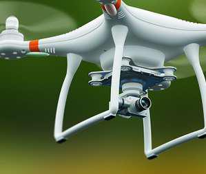
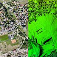
A drone survey, also known as an aerial survey or drone mapping, involves the use of unmanned aerial vehicles (drones) equipped with cameras or sensors to capture high-resolution imagery and data from the air. It offers several advantages over traditional surveying methods, enabling efficient data collection for various industries.
 Drone
Drone
 Drone Data Processing
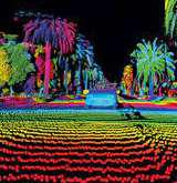
 LiDAR Data Processing

