Remote Sensing
We specialize in harnessing the power of remote sensing technology to capture valuable data from a distance. With our advanced aerial and satellite imaging solutions, we provide you with a bird's-eye view of the Earth, empowering industries and businesses to gain critical insights and make informed decisions
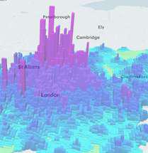 Urban Growth Analysis
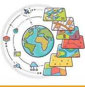 Site Selection and Suitability
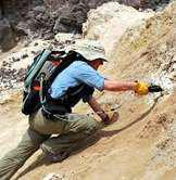 Geological and Mineral Exploration
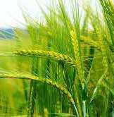 Crop Health and Yield Estimation
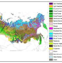 Land Cover and Land Use
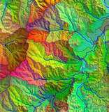 Hydrology and Watershed Analysis
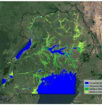 Wetland Mapping
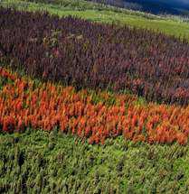 Forest Health Assessment
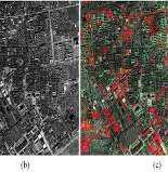 Change Detection
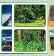 Habitat Mapping
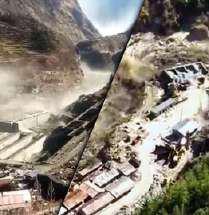 Disasters Management Such as floods, wildfires, and Earthquakess
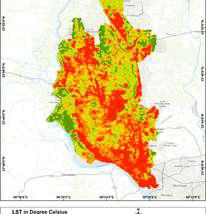 Map Generation
