Satellite / Drone Image Processing
Satellite and drone image processing involves the manipulation and analysis of images captured from satellites or drones for various applications. It encompasses a series of steps to enhance, interpret, and extract valuable information from the imagery. Here's an overview:
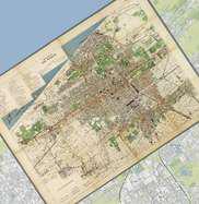 Georeferencing
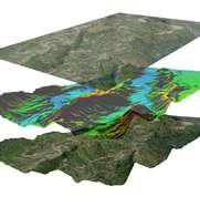 Orthorectification
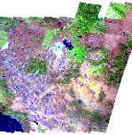 Mosaicking
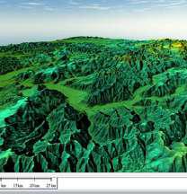 3D Model & Feature Extraction
