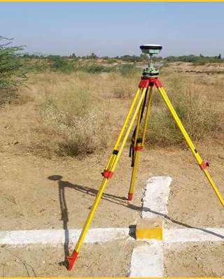
Topographical, DGPS/Total Station/Auto Level Survey
Topographical/DGPS (Differential Global Positioning System) survey involves mapping the physical features of a land area, and accurately capturing elevation data and spatial details for engineering, construction, and planning purposes. WSD serves the following :
 DGPS Survey
 Total Station Survey
